 |
 |
 |
 |
||||||
|
|
|
|
|
|
|
|
|
|
 |
|
||
|
Getting to He‘eia | |
|
|
|
|
|||||||
|
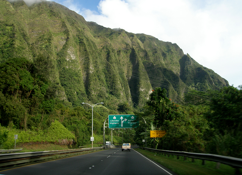
For someone arriving at Honolulu airport, there are two ways to get to He‘eia, both with advantages and disadvantages. One has to go over the Ko‘olau mountains via either the Likelike highway, or the H-3 highway, and while the H-3 is a slightly longer route, the travel time is about the same. A third route—further from the airport—goes over the Nu‘uanu Pali. From most places in Honolulu, one would take the Likelike highway, so that is the route we will describe. |
|

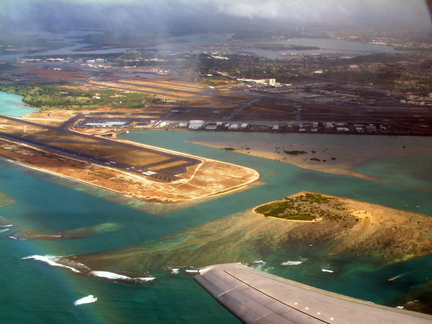
After a very short stint on highway H-1 east after leaving the airport, one turnes mauka (towards the mountains) on the Likelike. This highway ascends through Kalihi Valley. While still on the coastal plain, one passes the Bernice Pauahi Bishop Museum, the premiere museum of Hawaiian culture with extensive Pacific Island collections. Founded by Charles Reed Bishop, husband of Princess Bernice Pauahi Bishop, the museum was founded on his money, not hers, and is not part of the Bishop Estate that she created. As explained in the Colony (Mahele) page, Bernice Pauahi accrued massive land holdings on the death of her cousin Princess Ruth Ke‘elikōlani. These landholdings are the basis of Bishop Estate, now called Kamehameha Schools. As we drive past the museum, the main campus of Kamehameha Schools is on the hill to our right.
|
|||
|
|
|
|
|
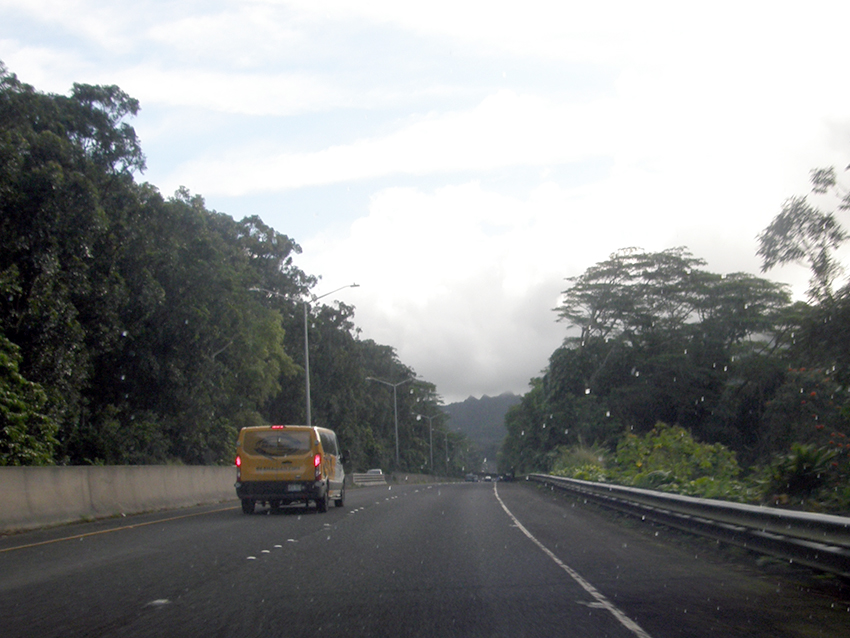
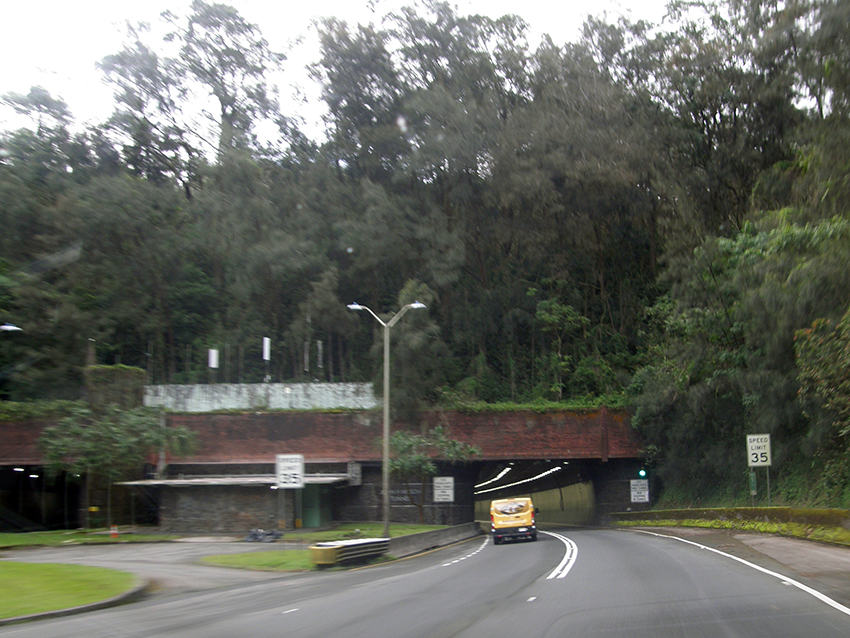
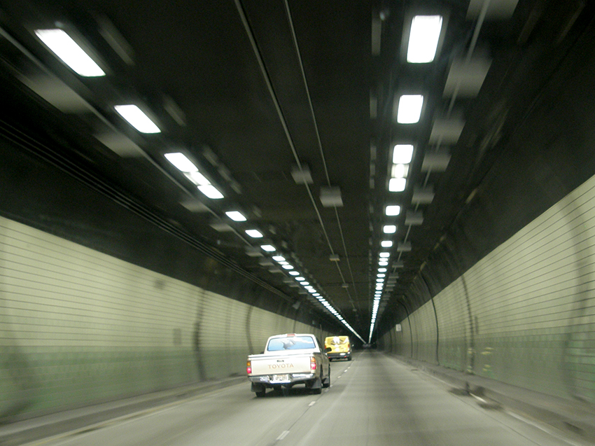
We pass the residential portion of the valley and ascend into the watershed management area. After cattle were introduced to the islands by Captain George Vancouver, a kapu was placed on them and they ran wild, destroying the vegetation. As the mountains became denuded, the water supply dwindled, and so it was determined that the montane forests needed to be protected. Unfortunately, most of the vegetation we see driving through the lush upper valley is not native, but introduced species. At the top of the valley we reach the Wilson tunnels, named for former Honolulu Mayor John H. Wilson. Wilson built the first carriage road over the mountains at Nu‘uanu Pali in 1898, and later advocated for a tunnel through Kalihi Valley to connect Honolulu with Kāne‘ohe on the opposite side. There were accidents and deaths involved in the building of these tunnels, as discussed on the Development page in the Today chapter.
|
|
|
|
|
|
|
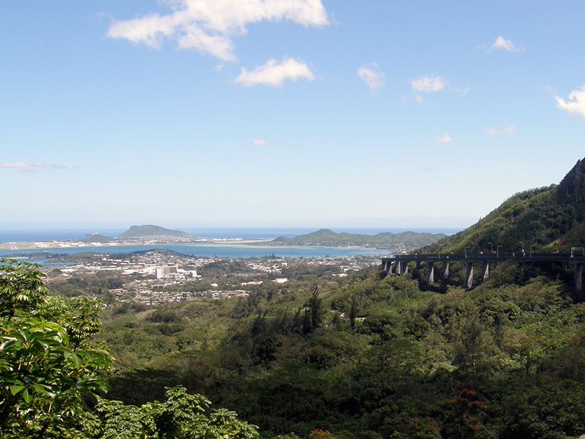
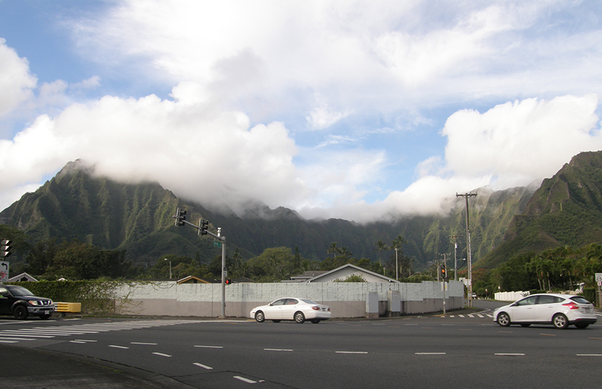
As one emerges from the Wilson tunnel, a very different landscape is revealed. The windward side of the island—the side that faces into the prevailing trade winds—experienced massive landslides back in geological history. A steep escarpment shrouded in green drops down to the coastal plain, with one ridge stretching down and out to form the Mōkapu penninsula. The ocean before us is bright blue, owing to the shallow depths of Kāne‘ohe Bay, which is protected by a barrier reef.
|
|||
|
|

|
|
We descend into Kāne‘ohe, passing the area of Luluku on our left. Luluku is known more recently for its extensive banana patches, but in the past was a major area for taro production. We then come down onto the coastal plain. We can continue straight into Kāne‘ohe and turn left on the Kamehameha Highway, but that takes us through a more urban route, so instead we will turn left on the newer and faster Kahekili Highway.
|
|||
|

|
|
|
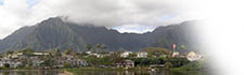
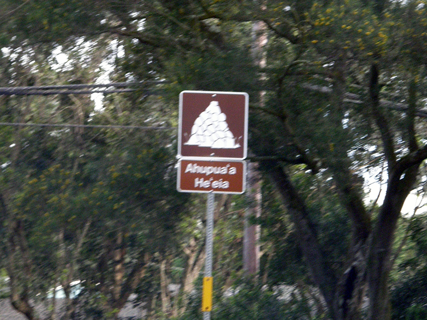
Before we know it, we are passing a sign that informs us we are entering the ahupua‘a of He‘eia. The mountain Keahiakahoe (“the fire of Kahoe”) rises to our left. Sometimes visible, depending on the light, is the Ha‘ikū steps, also known as the Stairway to Heaven, that was built by the military at the onset of World War II, to create a long-range transmitter system. This is explained in detail in the Memories chapter, and the current situation regarding these steps is discussed in the Onwards chapter. Passing Keahiakahoe, the beautiful landscape of Ha‘ikū valley opens up. This is one of two valleys that comprise the ahupua‘a , the second and smaller being ‘Ioleka‘a, further down the road.
Ha‘ikū Valley, from the Kahekili Highway.
|
|||
|
This automobile journey, taking perhaps a mere half an hour from Honolulu airport, creates a strong sense of having left the hot dry plain of Honolulu and its urban congestion, and having entered a quieter, moister, greener, and more visually stunning place where the influence and power of the physical environment are still pronounced. But for the first peoples to come here by voyaging canoe, it must have seemed very special indeed. Arrive with them and learn of He‘eia as a home land.
|
|
||

|
 |
||||
|
||||
Copyright 2019 Pacific Worlds & Associates • Usage Policy • Webmaster |
||||
